Close


The Minister of Housing is following up the status of the ongoing utilities and roads works in the Green Belt area in 6th of October City
Dr. Assem El-Gazzar, Minister of Housing, Utilities and Urban Communities, followed up on the status of utilities, roads and ongoing projects in the Green Belt area in 6th of October City, in light of the approval of the detailed plan for the Green Belt area with an area of 12,494 acres in the city, with the aim of establishing an integrated urban community in the region.
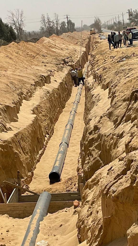
Engineer Adel Al-Najjar, head of the city’s authority, explained that he toured the project sites in the region, accompanied by engineer Hussein Elhamy, deputy head of the agency, and engineer Ramadan Salem, the supervisor of the green belt projects, pointing out that the green belt area in 6th of October City is divided into 3 regions, The first region, from Basin 1 to Basin 16, covers an area of about 4,500 feddans, and includes utility projects (roads, water, sewage, and irrigation) from Basin (1:16) with a total length of utility networks about 236 km (76 km of water network – 78 km of irrigation network). – 82 km sewage and rainwater drainage network, expulsion lines, and directed push runners below the Sumed lines). The project also includes a network of main and secondary roads with a total length of about 85 km. The project also includes 5 sewage lift stations.
The head of the 6th of October City Authority indicated that the first area also includes a project for implementing the main lanes of the main (Boulevard) road in the green belt, with a width of 50 meters and a length of about 11 km in the distance from the transit axis to the middle ring road, and the implementation of a car bridge above the Sumed campus area and the express electric train. To connect the different areas of the green belt to each other, which were cut off by the surface traffic of the high-speed electric train and the Sumed Petroleum Lines campus area.
The head of the 6th of October City Authority said that the second region, from Basin 17 to Basin 24, has an area of about 2,200 feddans, and includes the implementation of the main facilities (roads – water – sewage – irrigation) from Basin 17 to Basin 24, with a total utility network of about 138 kilometers (138 km). 43 km water network, 38 km irrigation network – 55 km sewage and rainwater drainage network). Drinking water with a total capacity of 26 thousand cubic meters / day.
Engineer Adel Al-Najjar announced that the third region, from Basin 25 to Basin 49, covers an area of about 3,500 acres, where the design and review of roads and facilities is being completed and the offering documents are being prepared.
Eng. Adel Al-Najjar stressed on the officials of the operating companies the need to work at full capacity in all locations and quickly pay performance rates to finish the work at the specified time and apply the best quality standards in implementation according to the established technical specifications.
